Aerial Surveying and AEC
Map, Model, and Inspect with Drone Solutions
Automate Workflows and Digitize Your Assets
Improved Efficiency
Increase the efficiency of your geographic information collection and streamline data processing using drone solution
Reduced Costs
Save on equipment and labor costs by automating data collection and analysis with drone and software solutions
Standardized Deliverables
Gain accurate aerial data to create industry-standard deliverables like DSM, DOM, and 3D models with drone and software solutions
Applications
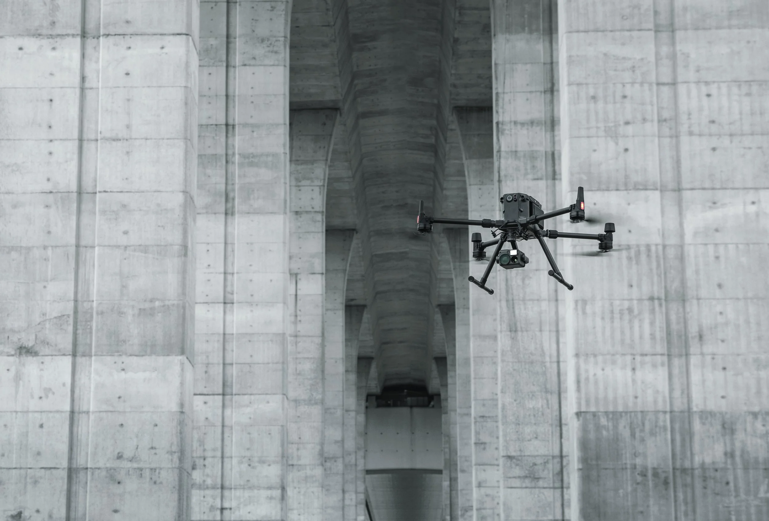
Architecture, Engineering, and Construction (AEC)
Map, Model, and Inspect with Drone Solutions, Automate Workflows and Digitize Your Assets
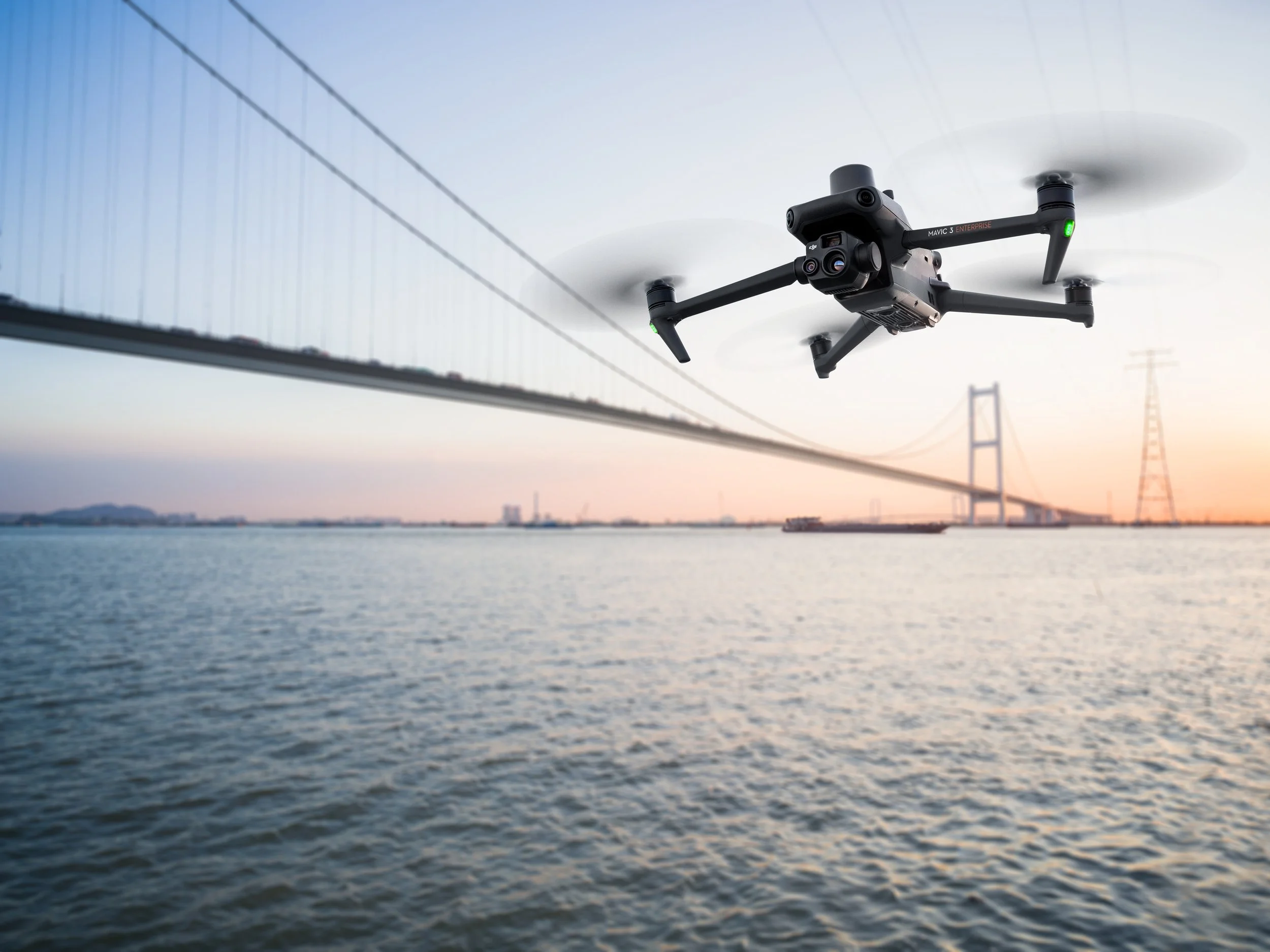
Land Surveying
Drone solutions collect accurate, geo-tagged data quickly, while photogrammetry software processes these data to deliver standardized outputs.
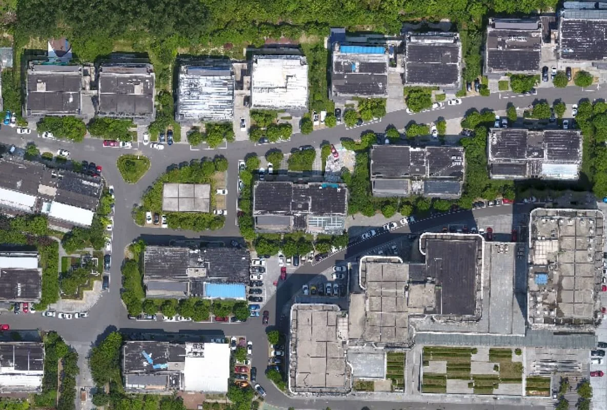
Urban Planning
Drone data creates accurate 2D and 3D models that integrate seamlessly with local geographic information systems, helping teams visualize results.
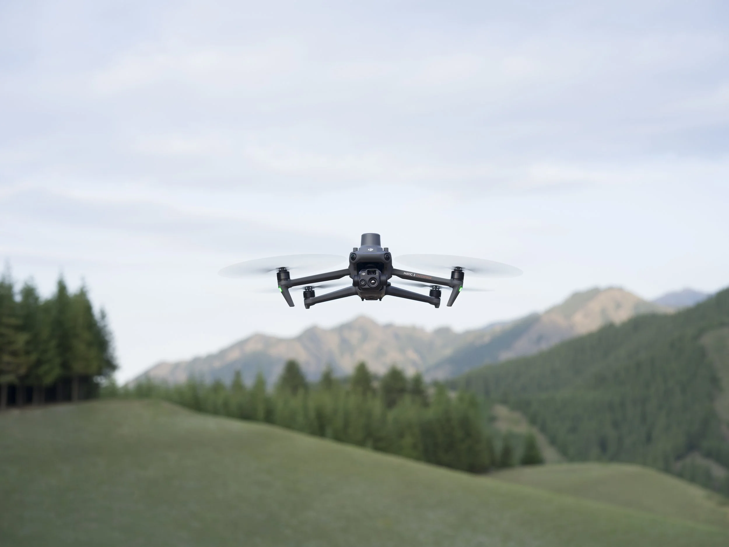
Natural Resource Management
Drones enable large-scale, detailed surveys of natural resources, providing accurate maps and models as well as telemetry data.
Related Products
-
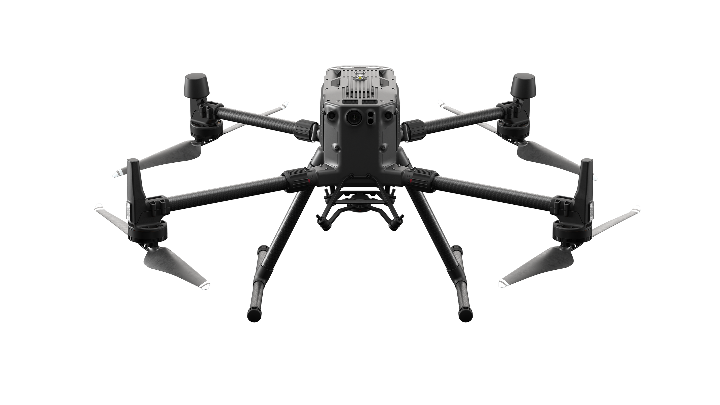
![MATRICE 300 RTK]()
MATRICE 300 RTK
MATRICE 300 RTK
-
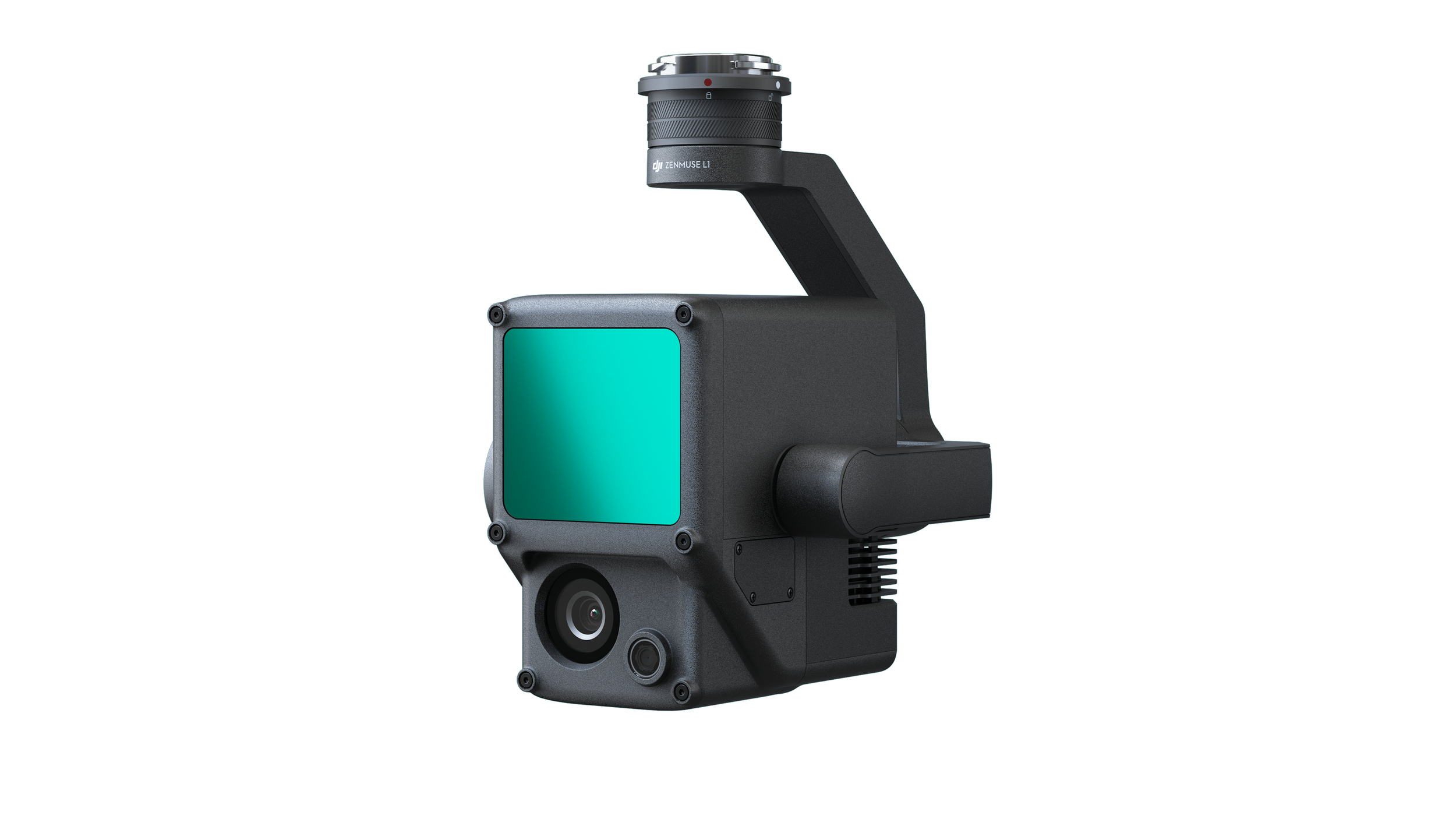
![ZENMUSE L1]()
ZENMUSE L1
ZENMUSE L1
-
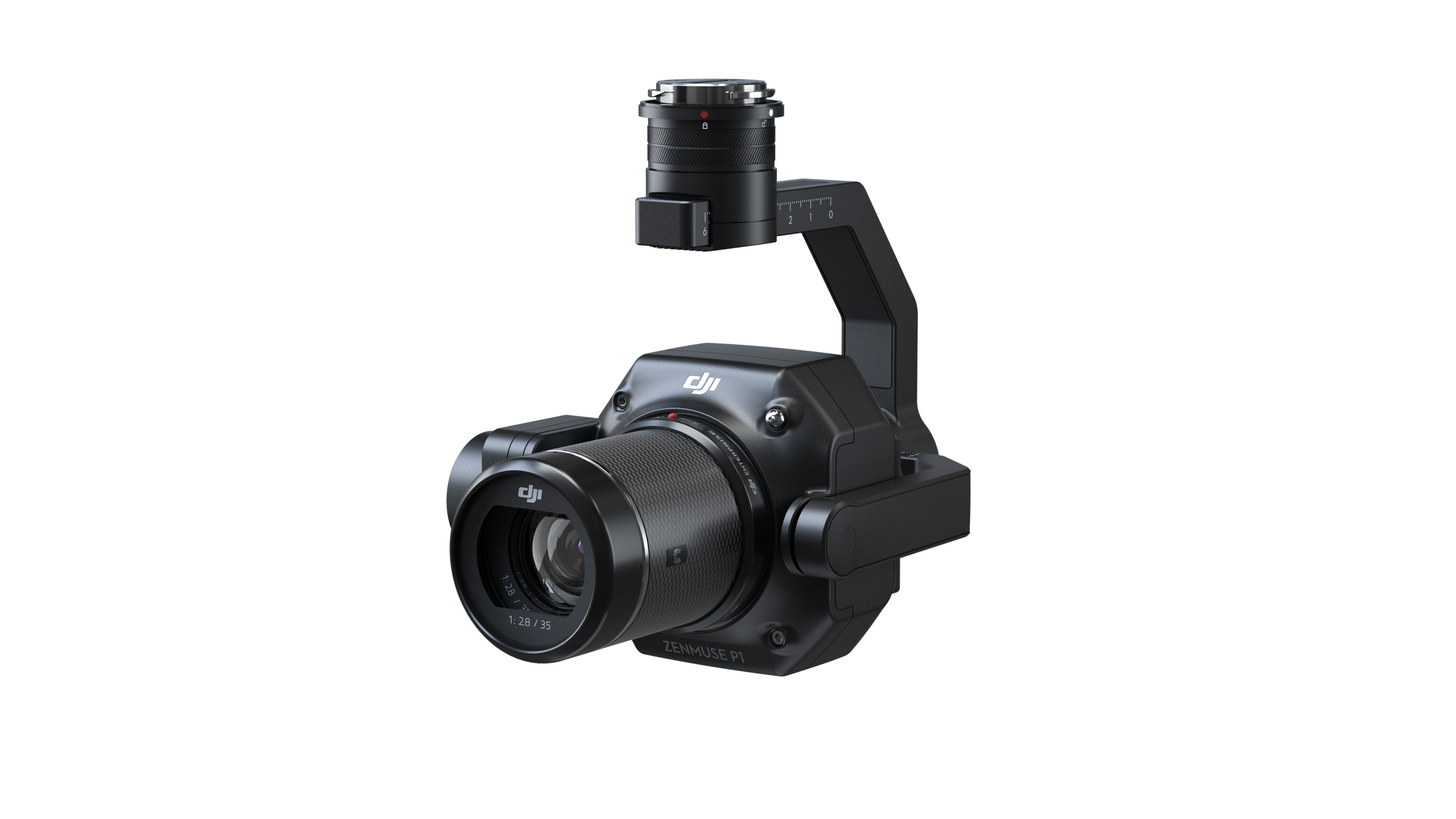
![ZENMUSE P1]()
ZENMUSE P1
ZENMUSE P1
-
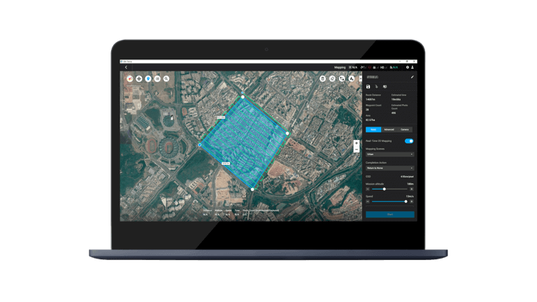
![DJI Terra]()
DJI Terra
DJI Terra