
About the Initiative:
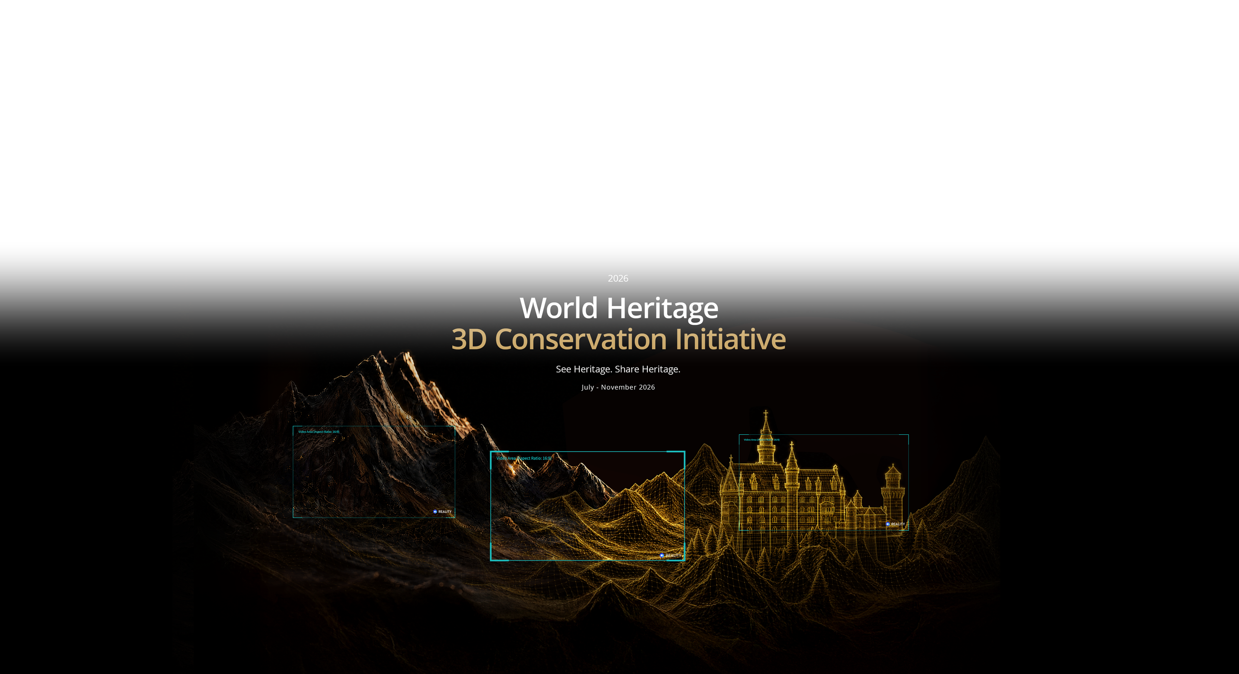
From wonders carved by nature's hand to monuments of old, our world's heritage is a beauty meant to last. Yet, left to the winds of time, even the grandest stone must face deterioration. Now, with DJI Enterprise's integrated aerial surveying and mapping solutions, you can build a digital archive that outlives the elements. Transform 3D models into immersive flythroughs using DJI Reality, and become the keeper of our shared history. What time erodes, you immortalize.
Categories
Explore the natural beauty and marks of civilization around you.
Cultural Heritage
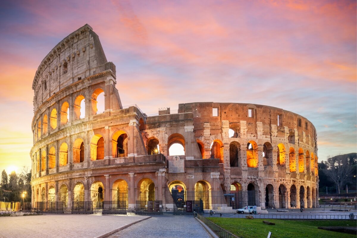
Alongside world-renowned monuments and architectural complexes, places like old villages, urban landmarks, and industrial heritage carry their own historical, artistic, or scientific value. Imbued with human wisdom and cultural depth, these sites represent irreplaceable memories.
Natural Heritage
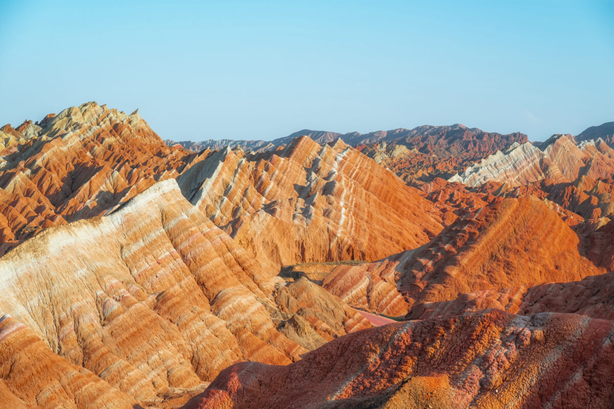
From majestic peaks and renowned wonders to the familiar mountains, lakes, or forests of your hometown. Whether valued for ecological conservation, geological science, or pure aesthetics, any landscape or habitat that embodies the vitality of nature is worth capturing and safeguarding.
Flythrough Video Examples
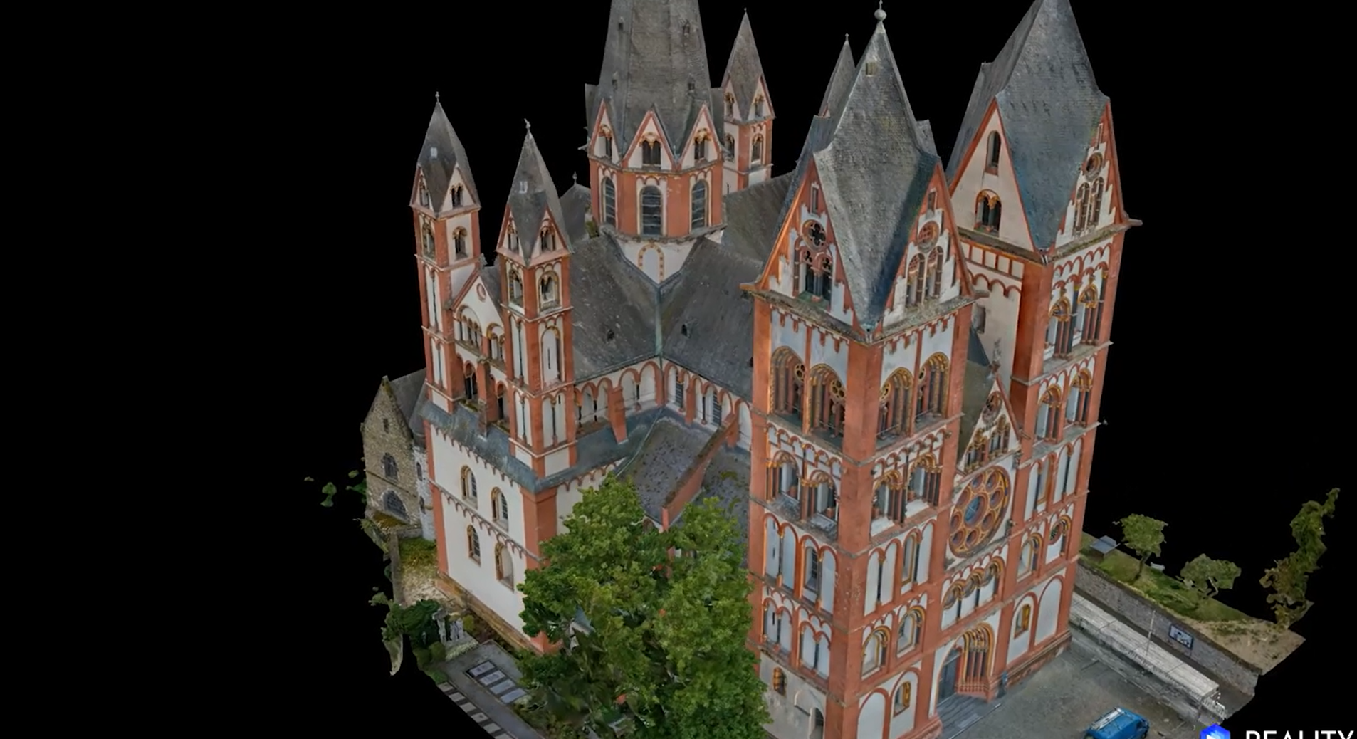
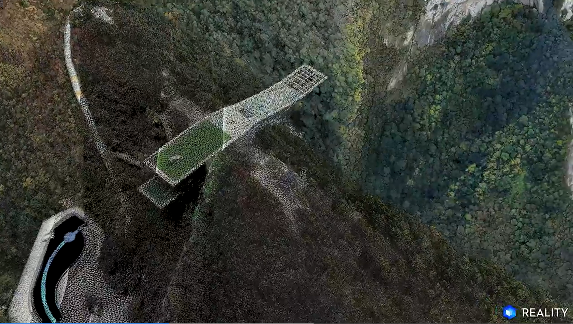
With DJI Reality, you can generate flythrough videos from mesh, 3D Gaussian Splatting, or point cloud data, as shown below. Beyond basic flythroughs, you are encouraged to elevate your creations by incorporating real-world shots, behind-the-scenes clips, and background music.
Romanesque Architecture: Limburg Cathedral
Mesh Model
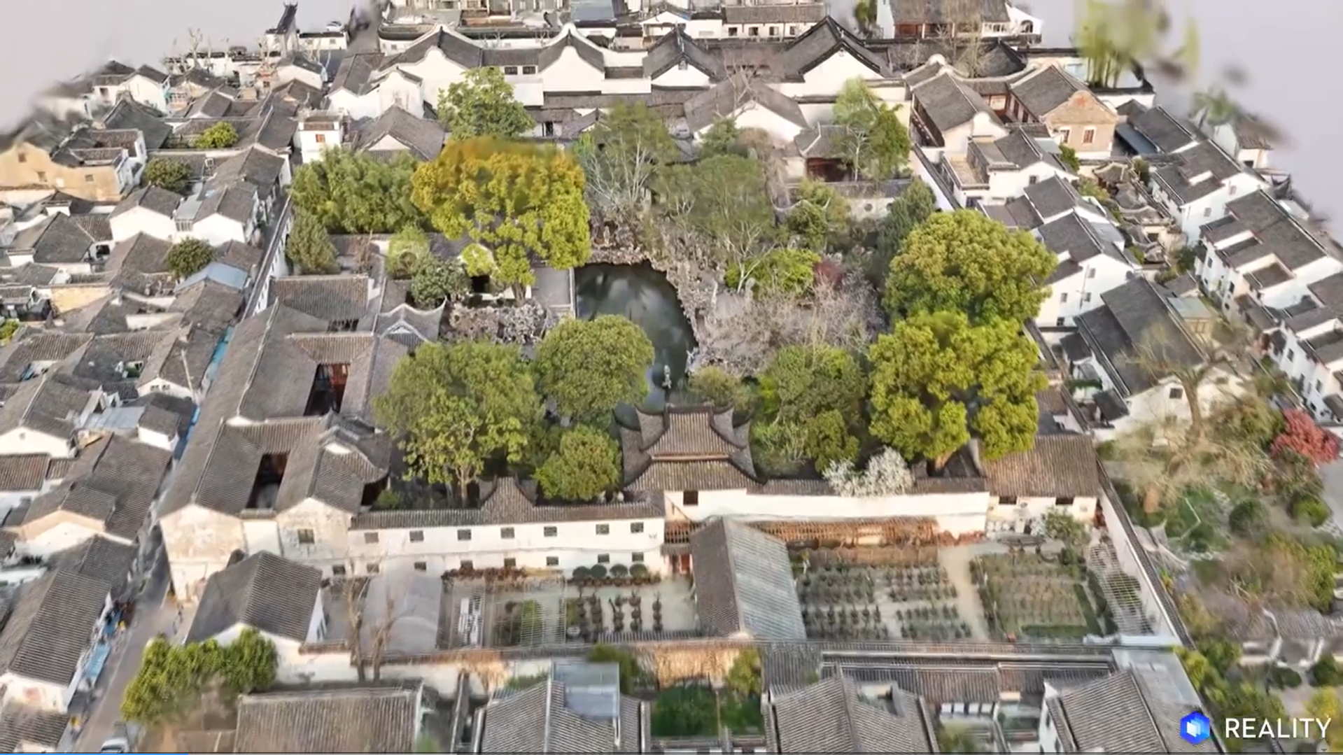
Suzhou Classical Gardens: Lion Grove Garden
3D Gaussian Splatting (3DGS)
Karst Landform: Leye Tiankeng Group
Point Cloud
How to Participate
Share and engage on social media
Share your video on social media. The top four videos with the highest overall engagement will receive the People's Choice Award and exclusive prizes.
Required: Include #DJIMapYourHeritage and #DJIEnterprise in your caption, then follow and tag DJI Enterprise.
Eligible Platforms: Instagram @DJIEnterprise_Official, Facebook @DJIEnterpriseOfficial, LinkedIn @DJI, YouTube @DJIEnterprise, and X @DJIEnterprise.
Submission Guidelines
Creative Recommendations
The most compelling videos tell a story. In addition to effectively showcasing your 3D model, you are encouraged to add before/after comparisons, behind-the-scenes workflow footage, shots of your drone at the actual surveying site, and background music. Creativity counts just as much as technical quality.
Format Requirements
Submitted videos must be MP4 files containing footage generated using the DJI Reality software, based on a 3D model of the heritage subject. The recommended resolution is 4K at 60fps, with a duration ranging from 30 to 300 seconds.
Originality & Authenticity
Participants must ensure the authenticity of their information and the originality of their work. Submitting false information or using AI tools to fabricate or alter 3D models or video content is strictly prohibited and will result in the loss of participation eligibility.
Legal Compliance
Participants are solely responsible for ensuring that their drone flights comply strictly with the laws and regulations of the country/region where the filming takes place. Furthermore, participants must ensure that their submitted works do not infringe upon the legal rights of any third party.
Content Licensing
By participating in this event, you agree that DJI may display, distribute, and use your work worldwide on a perpetual, royalty-free basis.
Timeline
Call for Participation
Participation Deadline
People's Choice Award Announced
Excellence Showcase
Recommended Workflow
Explore DJI's Integrated Hardware & Software Solutions
A Complete Workflow From Data Acquisition to 3D Reconstruction
Flight Route Planning
Flight Route Options
Recommended Photogrammetry Solutions
Recommended LiDAR Solutions
Recommended Software
Supported Output Formats
Generate Fly-Through Videos
Powered by DJI drone platforms and software like DJI Reality, we provide an end-to-end solution covering mission planning, data acquisition, 3D modeling, and application. It supports mesh models, 3D Gaussian Splatting, and point clouds.
Anyone is welcome to participate! If you have any good idea but need some support click the button below to contact us!